
The ‘Projection’ function will adjust the X and/or Y and/or Z -coordinates of the selection to the entered value(s). This function is mainly used to correct inaccuracies in the point coordinates. These inaccuracies cause trouble in the plate definition and later in the results.
How do I see/check if there’s an inaccuracy in the point coordinates?
- In a 3D view this model looks fine.
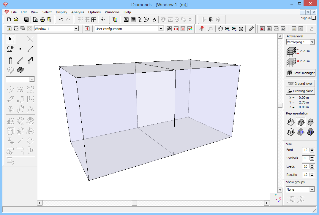
- But when zooming in a front view, some lines (actually walls) become bolt. This indicates inaccuracies in the point coordinates.

- In the image below a wall has been selected. For this wall, all X-coordinates should be the same.
Select the wall (use a selection box to do this!) and open the Data table . You’ll see small deviations in the X-coordinates.
Sometimes you even need to set the number of decimal places to a higher value (via the menu Options > Units and Decimals) to be able to see the deviation!

How do I fix this using the Projection function?
- Copy (CTRL+C) the desired X-coordinate from the Data table .
- Click on
 .
. - Click on the third icon to enter an X-coordinate.
Paste (CTRL+P) the coordinate.
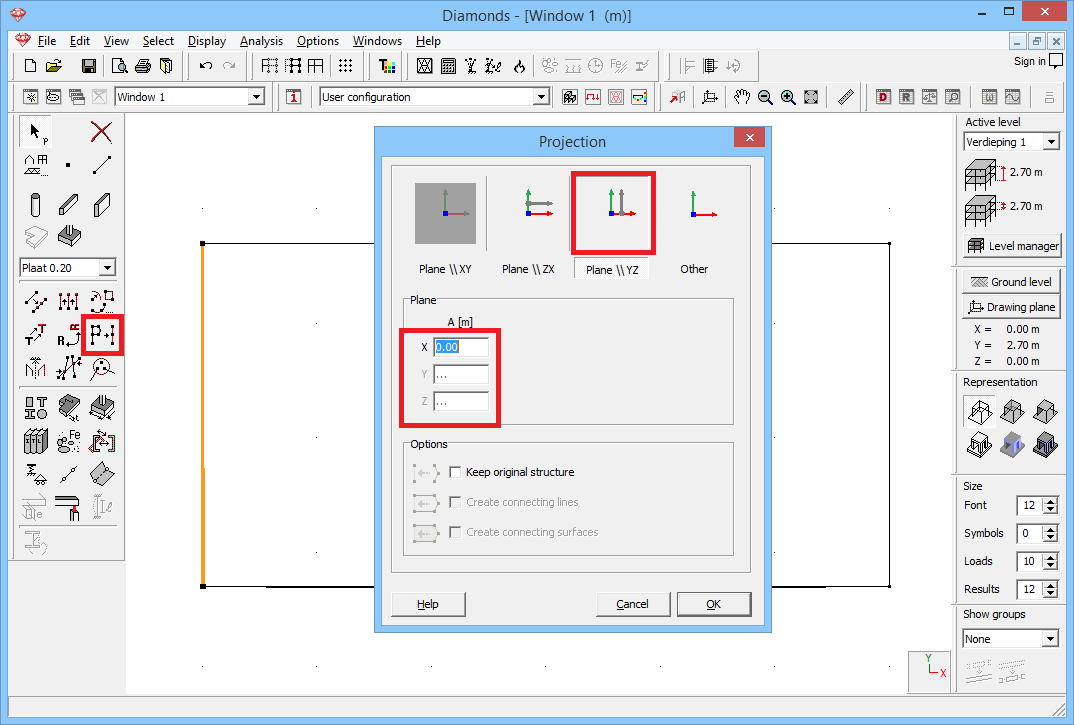
- Click ‘OK’. All selected points have the same X-coordinate now.
- Repeat this as many times as needed.
- Verify the Y- (second icon) and Z-direction (first icon) as well!